

Milne Boulevard.
The Gist: Milne Boulevard is named after a Scottish landowner, Alexander Milne, who owned most of the lakefront area. (He is not to be confused with the British author Alan Alexander Milne.)
Yesterday: At one time, New Orleans was basically swampland, and the land near Lake Pontchartrain is no exception. What’s interesting about the development of this area of New Orleans (Lakeview and Gentilly roughly) is that its development happened opposite of the way the original city developed. The original city’s site was focused primarily on the Mississippi River for its economic and agricultural advantages, and the city sprawled out from the river. The areas near the lakefront grew from its proximity to the Lake Pontchartrain. Many of the early inhabitants were drawn to the lake’s lush fisheries and luxurious boating opportunities. And, these areas remained mostly rural and swampy until the end of World War II.
Capuchin priests originally owned the land and then sold it to a Spanish nobleman, Don Almonester y Roxas, who has a street named after him, too. Eventually, Alexander Milne, acquired the swampy area and began his own town by the 1830s, which became known as Milneburg. Milneburg was not anywhere near where the present-day Milne Boulevard is. Instead the town was located near the University of New Orleans and its Research and Technology Park. John Chase says, “This odd Scot declared the swampland to be exceedingly healthy, and proved it by living to be eighty.” Ironically, selling parts of his precious swampland as real estate is what really made him rich along with a brick-making business.
The area around current-day Milne Boulevard was not much more than a resort at West End, a lighthouse, and the New Basin Canal, which was dug mostly by Irishmen. Thousands of them died due to sickness and poor working conditions.

Although most of Lakeview’s homes have been restored since Hurricane Katrina, it is not uncommon to see a house being reclaimed by nature.
Today:
The massive swamp that Alexander Milne enjoyed is now an extensive metropolitan area that comprises the neighborhoods of Lakeview, Gentilly, Pontchartrain Park, and Lake Vista. The latter two actually sit on top of artificial land that was pumped in for development. If you go to the UNO Research and Technology Park, you’ll see the old abandoned Milneburg Lighthouse that once sat in the lake itself. The New Canal Lighthouse (along Lakeshore Drive) is now a museum operated by the Lake Pontchartrain Basin Foundation, whereas the New Basin Canal was filled in as a massive neutral ground in the 1950s. Lakeview still attracts New Orleanians who have a vested interest in Lake Pontchartrain whether it is boating, biking, jogging, fishing, or swimming.
But, just as the lake waters brought development to the area, they would destroy it during Hurricane Katrina. Lakeview residents were severely flooded when the 17th Street Canal levee breached from the pressure of the lake surge.
As for Milne Boulevard, it runs from Robert E. Lee Boulevard through Lakeview until it stops at Kenilworth right before the I-610. It later resumes a few more blocks until ending at the railroad tracks before Greenwood Cemetery.

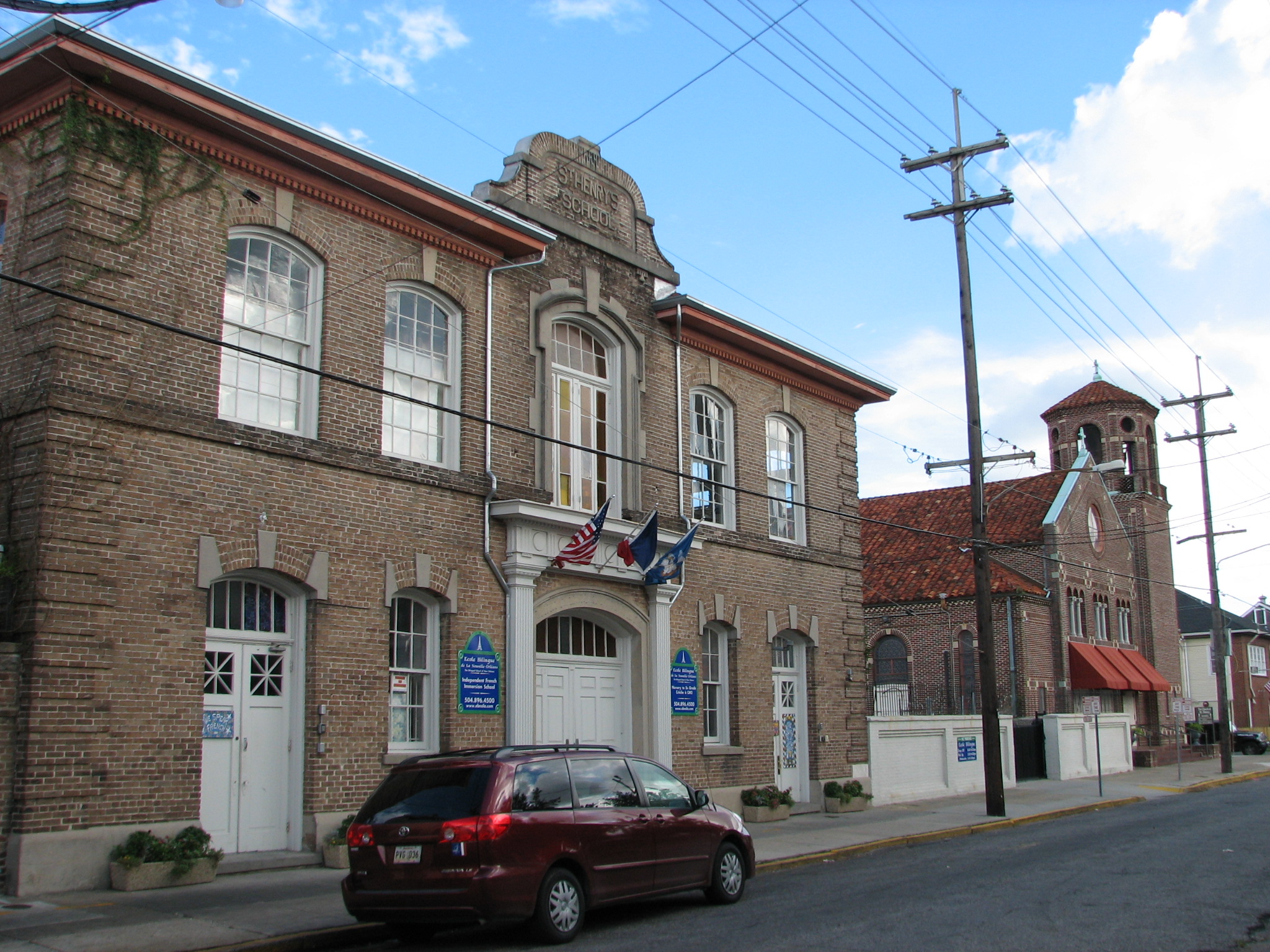
The front view of Lakeview School from Milne Boulevard. It was built in 1913 and then rebuilt in 1915 after a fire. It has been sitting idle since being damaged in the floods caused by Hurricane Katrina.
Tomorrow:
Projection of the future would be impossible without considering what is being done today. Overall, the rebuilding process in Lakeview has been impressive, especially considering most (if not all) homeowners were left high-and-dry (pardon the ironic phrasing) by the insurance companies’ “flood vs. wind” policies. Two new restaurants, Brisbi’s and The Blue Crab, have recently opened on the lakefront, which used to be bustling with eateries and recreational activities.
At Milne and Brooks, the Lakeview School (the area’s first school) sits festering in its Katrina shell; however, a developer has recently purchased the building with the plans for a condo or assisted living. According to WWL, Scurlock Development bought the early 1900s structure for $1.2 million. Mixed feelings always exist among neighbors. Some people feel like it will change the dynamics of the area, whereas others just want something done about the building that, quite frankly, looks like a haunted orphanage from the Soviet Union. Also, according to WWL, neither the development company nor the city council had much to say about the new venture. So, nothing may be happening for all we know.
However, with the way New Orleans politicians roll, big things may, in fact, be in play.

An ominous, rear view of Lakeview School.
Sources:
• John Chase. Frenchmen, Desire, Good Children. 1949.
• http://www.neworleansonline.com/tools/neighborhoodguide/lakeview.html
• Paul Murphy. WWL TV. http://www.wwltv.com/news/Private-Developer-Buys-Abandoned-Lakeview-School–217170981.html


You must be logged in to post a comment.